
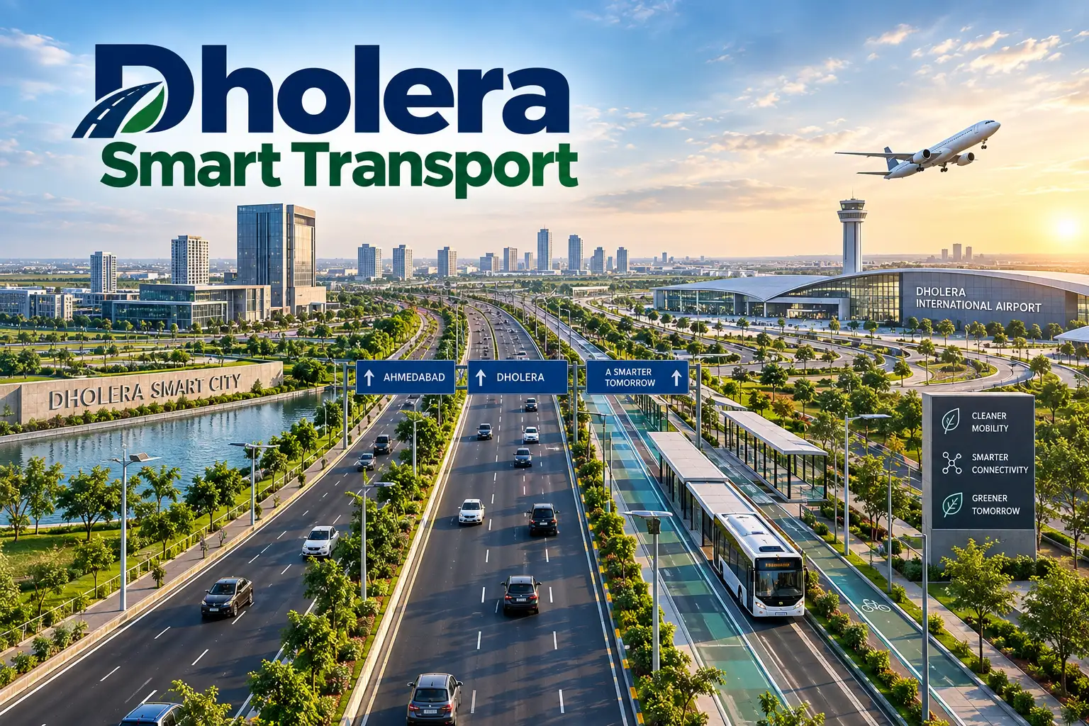
Most Indian cities fix traffic after it breaks. Dholera is doing the opposite.
Built on 920 sq. km of open land under the Delhi–Mumbai Industrial Corridor, the city had no old roads to widen and no pipes to dig around. That blank slate is why Dholera smart transport is being watched as a template rather than a one-off project.
Here is how the system actually fits together.
A Road That Does More Than Carry Traffic
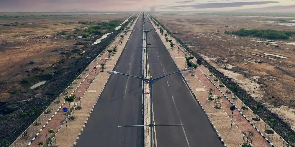
In Dholera, the road surface is the least interesting part of the road.
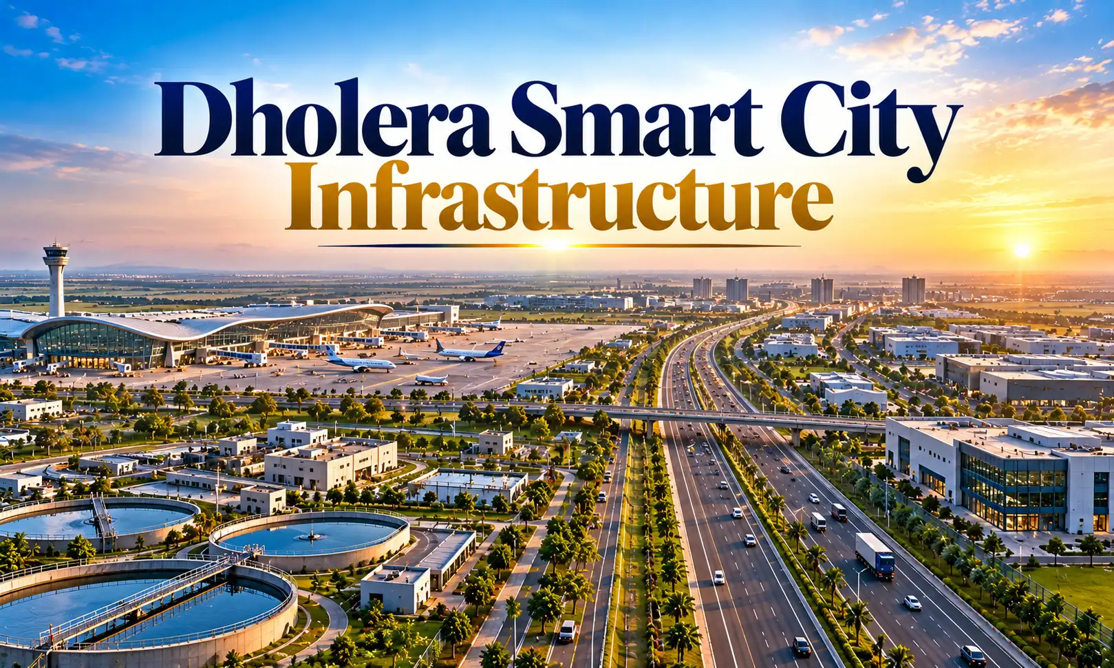
Beneath every corridor runs a utility trench carrying ICT cables, power lines, gas, potable water, recycled water, stormwater drains and reserved space for future transit. Upgrades happen underground. The tarmac stays untouched.
What that plug-and-play spine delivers:
- No repeated digging for cables or pipes
- SCADA-monitored utilities with smart metering
- LED street lighting on an energy-managed grid
- City-wide Wi-Fi and a 100% recycled water network
- Shaded walkways and green buffers along corridors
It is an unglamorous detail, but it is the reason Dholera smart transport can evolve for fifty years without tearing the city apart.
Distance Designed Out of Daily Life
The cheapest trip is the one nobody has to take, so Dholera smart transport begins with land use rather than vehicles.
Dholera’s master plan places industry, housing, offices and civic amenities in a deliberate sequence so routine journeys stay short. Walk-to-work clusters, mixed-use zoning and transit-oriented development do the heavy lifting before a single bus runs.
The road hierarchy supports it:
- Arterial, sub-arterial and collector roads with 18–70 m right of way
- 4–6 lane high-speed corridors for through traffic
- Separate freight routes that keep trucks out of residential zones
- Protected cycle tracks and non-motorised mobility lanes
- Reserved alignments for mass rapid transit
The EV Layer Powering Dholera Smart Transport
Gujarat wants to manufacture electric vehicles. Dholera wants to run on them.
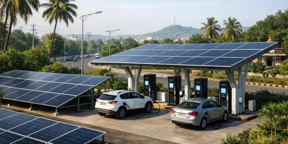
The city is being wired as an EV-first environment rather than one retrofitted with chargers later. Solar generation nearby feeds the same grid that powers the charge points, which is what makes the “green” claim more than branding.
Key pieces:
- Charging corridors along arterial routes
- Solar-powered charging stations
- Battery-swapping points in industrial and commercial clusters
- Electric public transit fleets
- A street grid sized for EV load management
For manufacturers, this is also a sales pitch: build here, and the infrastructure your product needs already exists.
Sensors, Signals and a City That Watches Itself
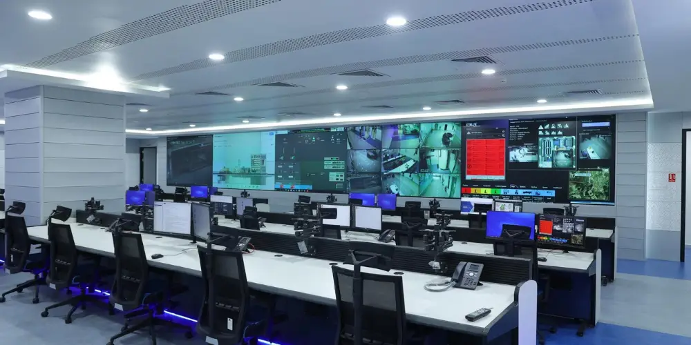
This is where Dholera smart transport separates from a conventional master-planned township.
A distributed sensor network feeds a central command centre in real time — vehicle counts, speeds, incidents, parking occupancy, air quality, noise levels and pedestrian movement. Signals adapt to actual demand instead of a fixed timer.
Inputs arriving at the control room include:
- Traffic and environmental sensors
- GPS from public transport fleets
- EV charging grid load
- CCTV surveillance feeds
- Weather and utility data
- Anonymised travel patterns
What the city does with it:
- Reroutes traffic before congestion forms
- Cuts emergency response times
- Triggers automated safety controls
- Plans road expansion from evidence, not guesswork
AI-driven signal control, IoT collection and cloud-integrated transit apps turn that data into decisions without a human in the loop for every call.
Getting In and Out: The Regional Picture
A city’s internal network is only as useful as its external links.
Dholera connects outward through four channels:
- Expressway — a dedicated high-speed link to Ahmedabad
- Air — Dholera International Airport on the city’s doorstep
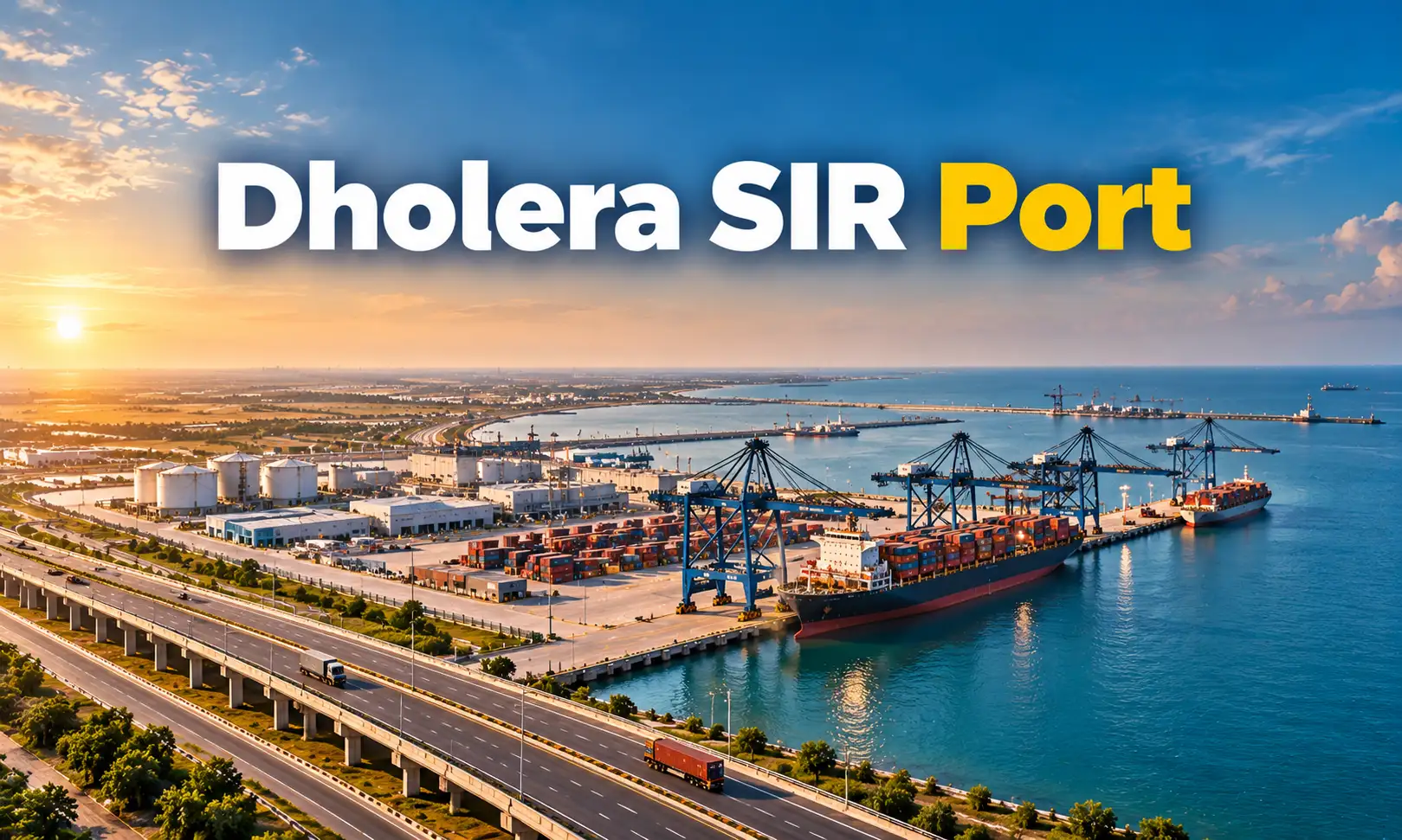
- Sea — nearby Gujarat ports for export traffic
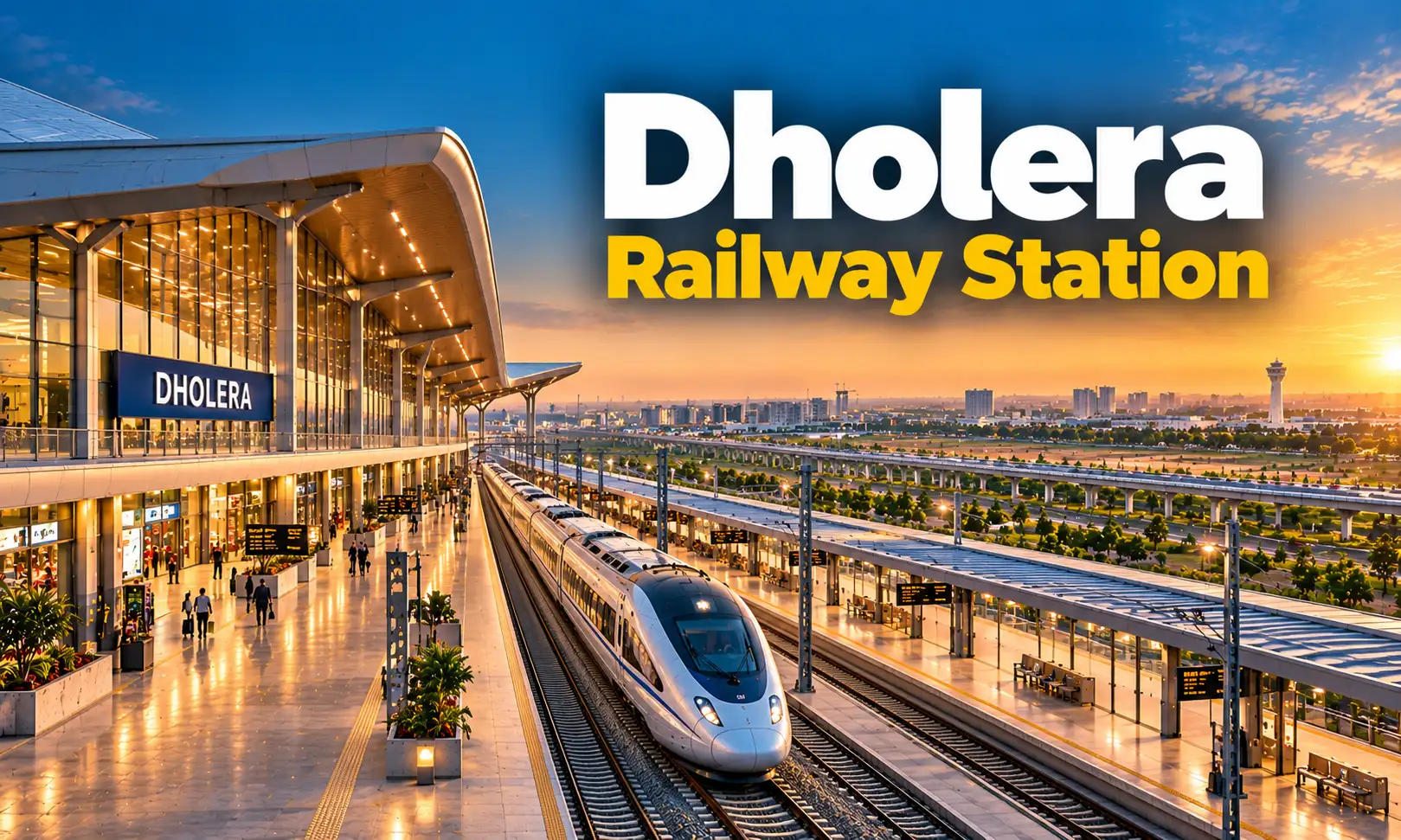
- Rail — planned MRTS alignment plus dedicated freight corridors
Passengers and cargo move through one ecosystem, linking Dholera smart transport to national and export trade routes. For industrial tenants, that multimodal reach is often the deciding factor.
The Green Ledger
Green mobility is written into Dholera smart transport at the design stage, not added later:
- Tree-lined boulevards and shaded pedestrian routes
- Sustainable drainage and rainwater harvesting
- Non-motorised zones in dense pockets
- Public transport priority in signal design
- Renewable energy powering transport infrastructure
Fewer forced car trips, cleaner vehicles, and smoother flow — the three levers that actually reduce urban emissions.
Why This Matters Beyond Dholera
India will add hundreds of millions of urban residents in the coming decades. Retrofitting mobility into existing cities is slow and expensive. Designing it in from day one is neither.
Dholera smart transport is the working proof of that argument — and if it performs, the model travels.
Following the project? Track the expressway, airport and MRTS milestones, since each one changes what Dholera smart transport can deliver on the ground.
FAQs
An integrated mobility system combining sensor-led traffic control, EV infrastructure, multimodal links and transit-oriented planning across Dholera Special Investment Region.
The Ahmedabad–Dholera expressway is in advanced stages. Check official DICDL updates for current status.
An MRTS alignment is reserved in the master plan, with phasing tied to population growth.
Renewable-powered charging, short trip distances, protected cycling routes and public transport priority reduce per-capita emissions.
Yes. Charging corridors, battery swapping and a managed power grid lower operating costs for EV manufacturers and logistics fleets.